Unified API
Write your map code once and switch map providers whenever you like. Even if you migrate from Google Maps to Mapbox, you don't need to rewrite large parts of your codebase.

Unified API
Optimized for Android / Jetpack Compose
iOS / SwiftUI Support
Open Source

When building a map app on Android, have you ever thought, 'The map part alone feels overly complicated. I wish I could just write it in familiar Jetpack Compose...'? MapConductor makes that wish come true. With the API MapConductor provides, you can easily express what you want the map to do using declarative UI.
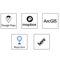
Multiple map SDKs are supported: Google Maps, Mapbox, MapLibre, HERE, ArcGIS — all operated the same way.
And even for features that exist in one map SDK but not in another, we've implemented them ourselves. That means we're not just aggregating each SDK's API — we're building what's missing.
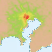
Advanced features like marker clustering and heatmaps can also be introduced in just a few lines.
No more struggling with a complicated map section in an app you're otherwise building with Jetpack Compose!
Unified API MapView
Fully Customizable Markers

InfoBubble Written in Jetpack Compose

MarkerCluster for Grouping Markers

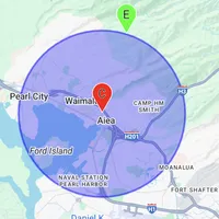
Circle with Meter-Based Radius
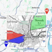
Polyline for Both Straight and Curved Lines

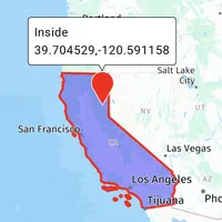
Polygon for Filling Complex Areas
GroundImage for Placing Images in Specific Areas
HeatMap for Visualizing Density
RasterLayer for Displaying Other Tile Images